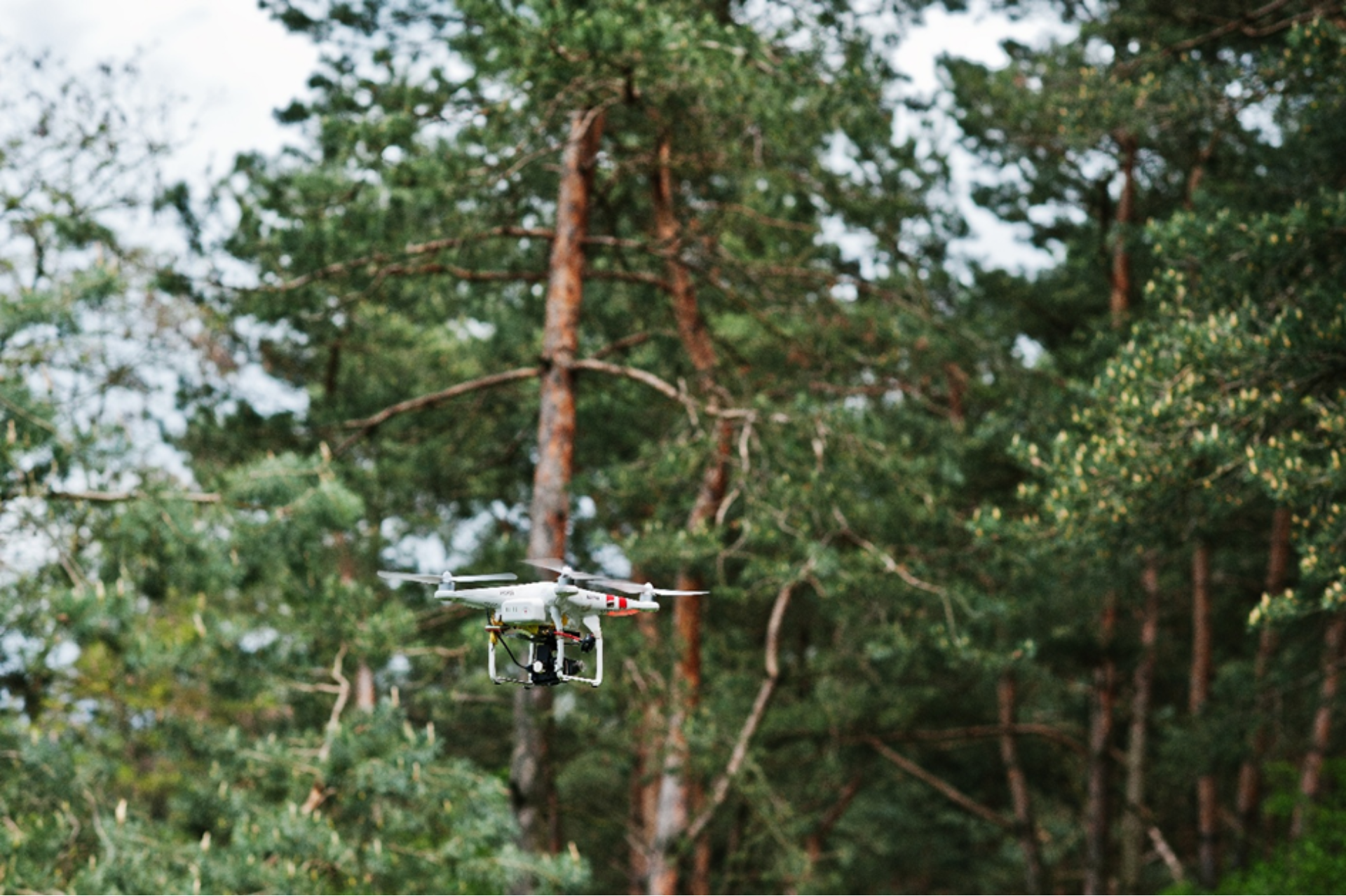
Agriculture isn’t the only sector reaping the benefits of digital transformation. Across Europe, forests are at the forefront of innovation, as Remote Sensing (RS) technologies provide the tools to monitor vast areas, safeguard biodiversity, and build resilience against climate change. From satellites orbiting hundreds of kilometres above Earth to drones flying beneath the canopy, RS empowers forest managers with the insights they need to make informed, sustainable decisions.
Remote sensing refers to the collection and analysis of environmental data without direct physical contact. RS platforms range from satellites and crewed aircraft to drones and handheld devices, equipped with two main types of sensors:
By integrating these data streams into cloud platforms, forest managers can visualise, store, and analyse information in near real time, transforming raw imagery into actionable insights.
Falling satellite imagery costs and free data programmes have driven the widespread adoption of RS across Europe. The most common applications include:
Emerging, more advanced applications include emissions monitoring, soil moisture mapping, and predictive risk analysis powered by AI. While multispectral drones are now commonplace, LiDAR and hyperspectral systems are being adopted more gradually due to higher costs and technical complexity.
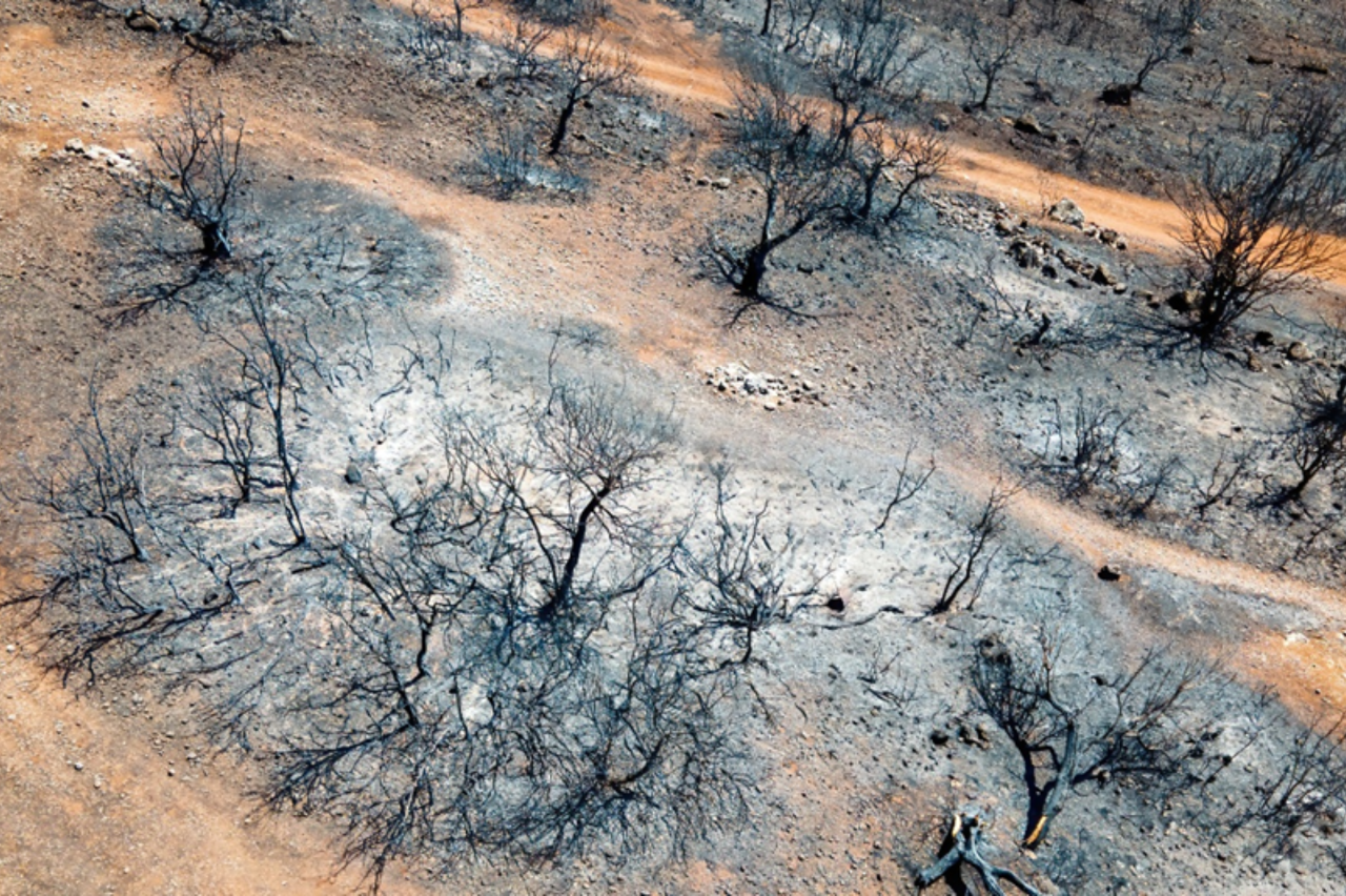
Remote sensing brings three core benefits to forestry operations. First, automated data collection over large areas saves time and reduces survey costs. Second, rapid detection of stressors such as drought or disease supports resilient, climate-smart planning. Third, precise measurement of timber volume, canopy cover, and carbon stocks underpins sustainable management and compliance with regulations like the EU Deforestation Regulation.
Even with clear benefits, several obstacles remain. Upfront equipment costs can deter smaller organisations; processing and interpreting geospatial data demands specialised skills; and patchy internet coverage in rural regions can slow cloud-based workflows. Weather conditions or seasonal factors may also affect data quality if imagery is obscured by persistent cloud or snow.
Cloud computing is the backbone of modern RS, enabling storage and processing of vast datasets without the need for expensive on-site infrastructure. Key data sources include:
Shared cloud platforms foster collaboration among foresters, policymakers, and conservation groups—accelerating responses to threats and ensuring transparency across the supply chain.
Remote sensing is transforming forest management from a reactive task into a proactive science. With the right combination of technology, training, connectivity, and supportive policy, RS can help Europe’s forests stay productive, biodiverse, and resilient in the face of climate change. By investing in both innovation and human capacity, the forestry sector can secure cleaner air, healthier ecosystems, and stronger rural economies for the future.
What are your experiences with Remote Sensing technologies for forestry? What challenges or benefits have you encountered?
Join the conversation and help shape the future of forestry! Share your insights through our survey: https://wur.az1.qualtrics.com/jfe/form/SV_3ZYlHCXhpiDJyyq
Stay tuned as we continue to explore the digital landscape of European forestry, providing data-driven insights that help us all grow smarter and more sustainably.
Sign up to stay informed of news, key outputs and upcoming events!