Agriculture across Europe is entering a new phase of innovation, driven by digital transformation and the growing need for sustainable, data-informed practices aligned with European environmental and agricultural policies. Among the most significant advancements are mapping technologies, which are transforming how farmers manage their land, monitor crop health, and allocate resources more efficiently.
From drones capturing aerial images to soil sensors recording moisture levels, these tools offer valuable insights that support precision agriculture. This blog explores the role of mapping technologies in European agriculture, their potential benefits, and the challenges they present.
Mapping technologies refer to a suite of digital tools that collect, visualise, and analyse spatial and environmental data to support farm management. They include:
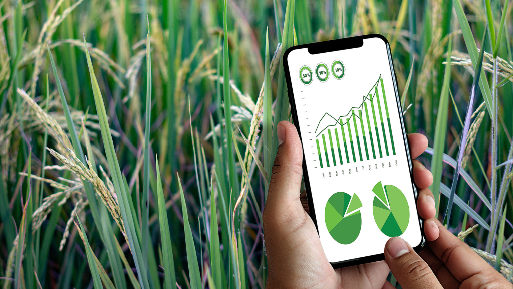
Often integrated with cloud-based platforms, these technologies enable farmers to store, access, and analyse data remotely, supporting real-time decision-making and long-term planning.
Mapping technologies are central to precision agriculture, an approach that uses detailed data to optimise every aspect of crop production. Rather than applying water, fertiliser, or pesticides uniformly, precision agriculture enables targeted interventions based on the specific needs of different areas within a field.
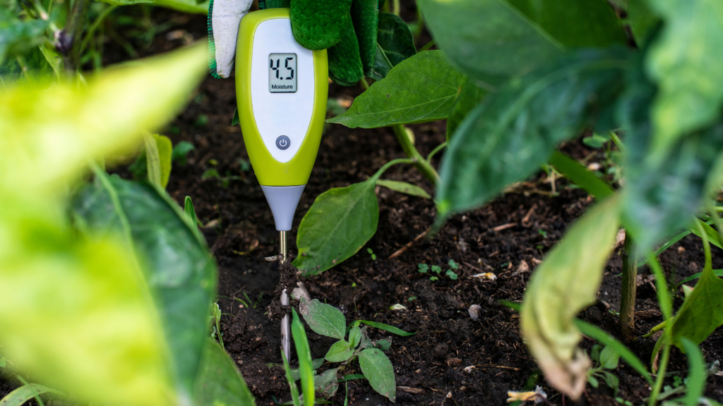
This method improves efficiency, reduces waste, and enhances both environmental outcomes and crop performance. For example, drones equipped with multispectral cameras can detect crop stress early, while soil sensors guide irrigation strategies that conserve water.
The use of mapping technologies varies by crop type and farming system:
Yield mapping systems also assist in farm performance analysis, helping farmers compare outcomes across seasons and identify areas for improvement.
Across Europe, the adoption of these technologies is increasingly supported by EU research initiatives and rural development programmes under the Common Agricultural Policy (CAP), promoting digitalisation and sustainability in farming.
Mapping technologies offer multiple benefits that make them a valuable asset in modern farm management. By providing detailed field data, they help reduce manual labour, streamline daily operations, and optimise the use of machinery, resulting in greater efficiency and lower input costs. Multispectral and thermal imaging tools enable early detection of plant stress, disease, and nutrient deficiencies, supporting timely interventions and healthier crops. These technologies also allow more precise application of fertilisers, irrigation, and pesticides, minimising waste and environmental impact while supporting consistently high yields. Over time, improved efficiency and resource targeting lead to significant cost savings, particularly for larger farms where economies of scale increase returns on investment. Sustainability is another critical benefit. Smarter input management helps reduce soil degradation, water pollution, and greenhouse gas emissions. Soil moisture sensors are especially valuable for optimising irrigation, ensuring water is used only where and when it is needed, an essential aspect of climate-resilient farming. The integration of GPS, Bluetooth, and cloud-based platforms further enhances usability, allowing seamless data collection, analysis, and cross-device access. Together, these capabilities strengthen decision-making, improve resource management, and enable strategic long-term planning. Such efficiency gains also align with broader sustainability goals, including the EU Green Deal and the Farm to Fork Strategy, aimed at reducing agriculture’s environmental footprint.
Despite their many advantages, the adoption of mapping technologies remains uneven—particularly among small and medium-sized farms. High upfront costs for tools such as drones and multispectral cameras often pose a significant barrier, making these technologies less accessible to smaller producers. Technical complexity is another challenge. Many systems require specialised knowledge for effective operation and data interpretation, creating a learning curve that can deter farmers with limited experience in digital tools. Infrastructure limitations also hinder adoption. Reliable internet access is crucial for cloud-based platforms and real-time data monitoring, yet rural areas often lack sufficient connectivity. Environmental factors present further complications. Tools reliant on aerial imagery, such as drones and satellites, can be affected by adverse weather conditions like cloud cover, wind, or heavy rain, reducing data quality or availability. Compatibility between systems is an ongoing issue, as integrating new mapping technologies with existing farm equipment can be both time-consuming and costly. For example, while soil sensors may deliver accurate irrigation data, they cannot compensate for inefficiencies in poorly designed irrigation systems.
Many mapping tools now rely on cloud-based platforms for data storage and analysis. These platforms offer real-time access to key information, support cross-device connectivity, and often integrate with broader farm management software.
Common data sources include:
Cloud systems simplify data analysis, reducing reliance on manual data transfer, and making mapping technologies more efficient and user-friendly. However, growing dependence on digital platforms also raises concerns around data ownership, privacy, and cybersecurity, which need to be addressed to protect farmers’ sensitive information.
Mapping technologies represent a major step forward in the evolution of modern agriculture. By delivering detailed insights into crop health, soil conditions, and resource use, they empower farmers to make better decisions, improve efficiency, and reduce environmental impact.
While barriers such as cost, complexity, and infrastructure challenges remain, the benefits of adopting these technologies are clear. Sustained investment, supportive policies, and capacity-building initiatives will be key to ensuring broader access, especially for smallholders.
With the right support, mapping technologies can drive the shift towards more sustainable, climate-resilient, and data-informed farming practices, helping to secure food production and environmental resilience in the years to come.
Sign up to stay informed of news, key outputs and upcoming events!